Latest News
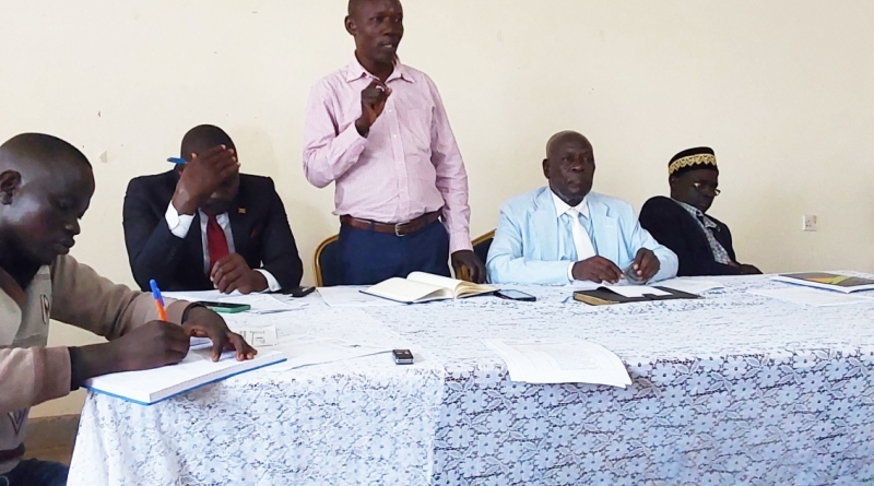
Kayiay Linus the District Vice Chairman (standing) amidst other top district leaders delivers his verdict on the fate of contractors.
By Achidri Akim and Majubo...

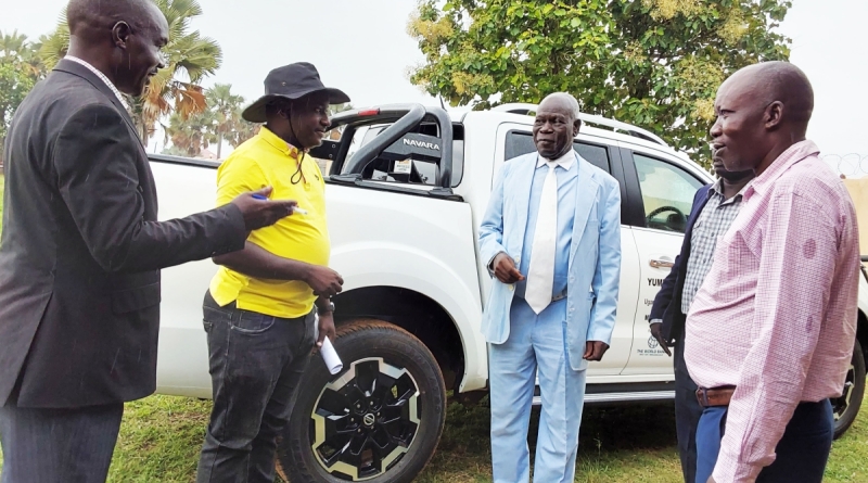
The USMID Coordinator (left) receiving the brand-new car on behalf of the district as district leaders witness.
By Achidri Akim and Majubo Rafah,
...
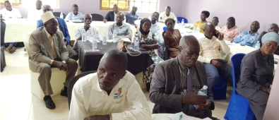
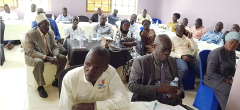
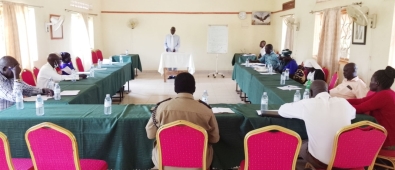
Participants during the VNG workshop meeting at Bayern Hotel in Yumbe District
By Achidri Akim
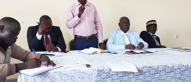
Key participants during a one day meeting organized by the...

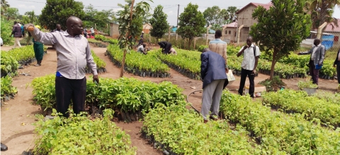
District Residents participate in identifying seedlings for tree species during the tree planting campaign at Yumbe District HQs.
By Achidri Akim
As conversations...
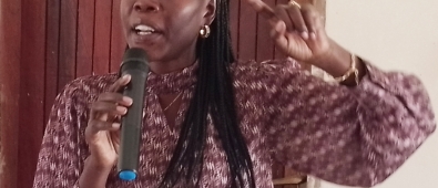
Hon Evelyn Anite delivers speech during PDM sensitization meeting in Yumbe
By Achidri Akim
Honorable Evelyn Anite the Minister of state...
Stakeholders taking part in a peace building meeting at Hotel Premier in Yumbe District
By Achidri Akim
The Deputy Resident District...
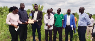
Hon Aguku Samadu hands over site to the contractor as district technocrats and locals look on
By Achidri Akim
Honourable Aguku Samadu the male youth...

Hon Asiku Abdulmtwalib the District Chairperson YDLG addressing Participants
By Achidri Akim
The Chief Administrative Officer Mr Asaba Innocent Birekeyaho...
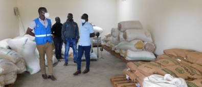
DINU commits to improve the livelihood of people in Yumbe District
It is now two years down the road, ever since Development Initiatives for Northern Uganda (DINU) kick-...
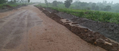
Due to the recent rains from June to November, 2019, the Roads in Yumbe have numerous pot holes which are dangerous the traffic. Some roads have been blocked to due floods which cut off traffic...
Pages
Opportunities
Upcoming Events